Satellite is expected to play a critical role in addressing pressing challenges including floods, landslides, glacier melt and deforestation
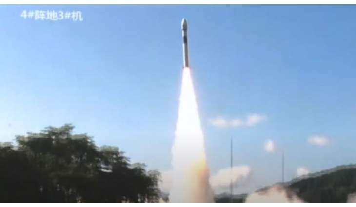
ISLAMABAD: (UrduPoint/Pakistan Point News-July 31st, 2025) Pakistan Space and Upper Atmosphere Research Commission has launched a new Remote Sensing Satellite.
It was launched from the Xichang Satellite Launch Center in China.
The Satellite is expected to play a critical role in addressing pressing challenges including floods, landslides, glacier melt and deforestation.
The spokesperson stated that the satellite will revolutionize the fields of Earth observation, agricultural monitoring, and environmental analysis. It will also monitor CPEC, regional planning, and natural resource management projects.
According to the SUPARCO spokesperson, the satellite will also help identify transportation networks and geographical hazards.
The spokesperson further said that this is Pakistan’s second remote sensing satellite; the first one was launched from China’s satellite launch center in 2018.
The spokesperson added that currently, five Pakistani satellites are in space.