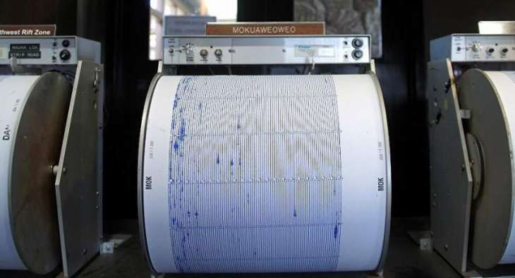
A magnitude 5.6 earthquake was registered on Monday at the border of Colombia and Ecuador, the US Geological Survey said
MOSCOW (Pakistan Point News / Sputnik - 30th March, 2020) A magnitude 5.6 earthquake was registered on Monday at the border of Colombia and Ecuador, the US Geological Survey said.
The quake was registered at 09:09 GMT. Its epicenter was located at a depth of 132 kilometers (82 miles), 33 kilometers (21 miles) to the southeast from Pimampiro settlement in Ecuador.
There are no reports about victims or damage caused by the earthquake.