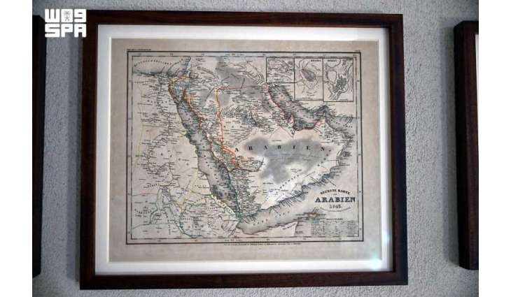
Jeddah, June (پاکستان پوائنٹ نیوز 30 يونيو 2026ء) Among the exhibits at the Red Sea Museum is a 17th-century map that provides an early depiction of the region. It highlights mapmakers' understanding of the Red Sea's importance as a major maritime route connecting the Mediterranean Sea with the Indian Ocean, while illustrating the ports and shipping routes that played a central role in global commerce.
The maps demonstrate how the Red Sea's strategic location made it a hub for economic and cultural exchange. Merchant vessels carrying spices, incense, textiles, and minerals sailed its waters alongside ships transporting pilgrims from across the Islamic world, establishing the Red Sea as one of history's busiest and most influential maritime routes.
The collection also reflects the evolution of geographical and navigational knowledge. Compiled using the expertise of sailors, captains, and travelers, the maps documented coastlines, islands, and ports, serving as essential references for maritime navigation before the advent of modern navigational technologies. They also illustrate the accumulation of scientific knowledge that deepened understanding of the Red Sea's geography and maritime environment.